GEO-DATA • ENGINEERING • TECHNOLOGY

Understanding the World Beneath. Building the Future.

Advanced Geo-data, surveying, engineering and digital solutions that help organisations understand complex environments, reduce uncertainty and make informed project decisions.

52+ Countries
11K+ Global Professionals
360° Geo-data Insight
SCROLL TO EXPLORE
WHO WE ARE

Turning complex Geo-data into clearer decisions.

We combine specialist expertise, advanced technology and high-quality Geo-data to help organisations better understand the natural and built environment.

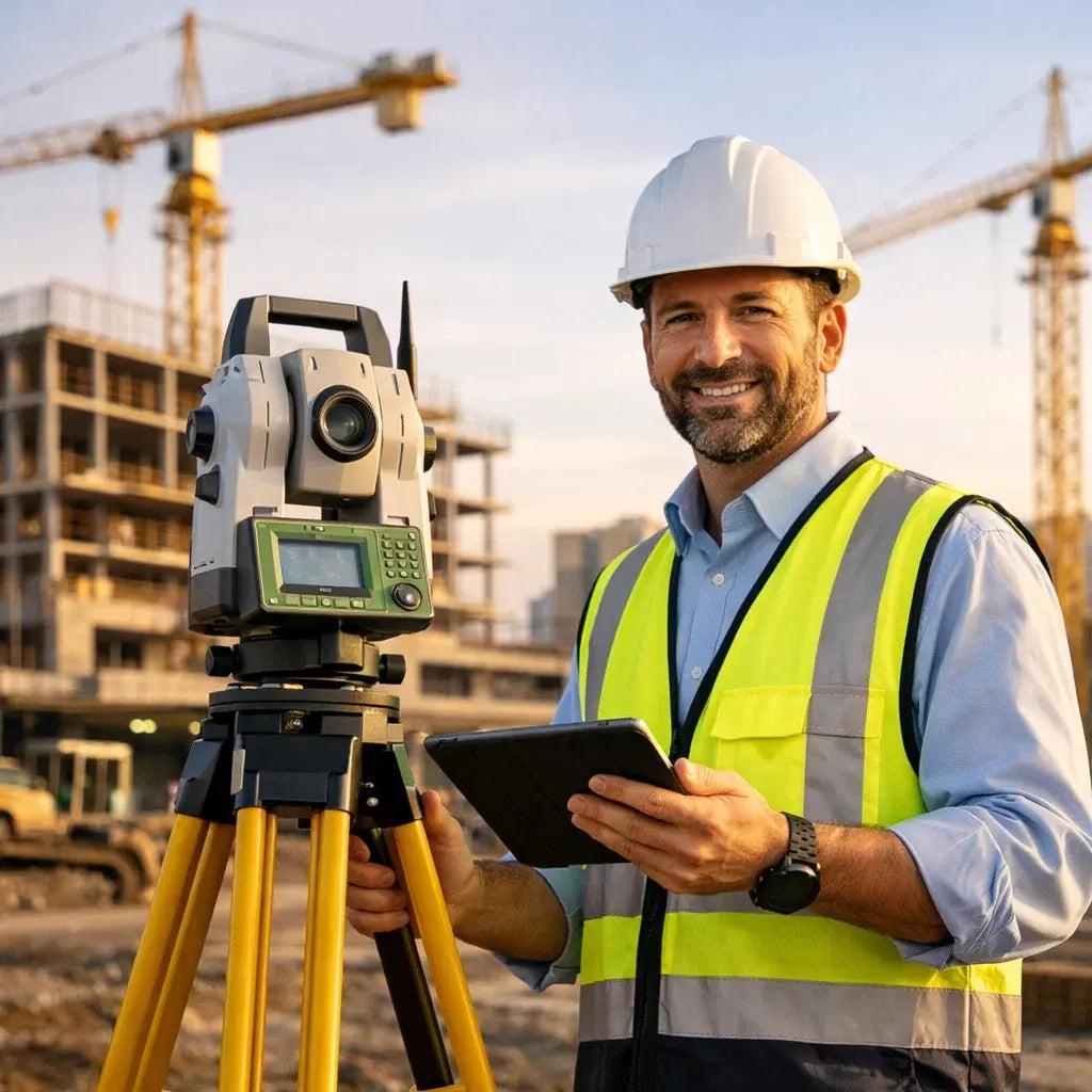
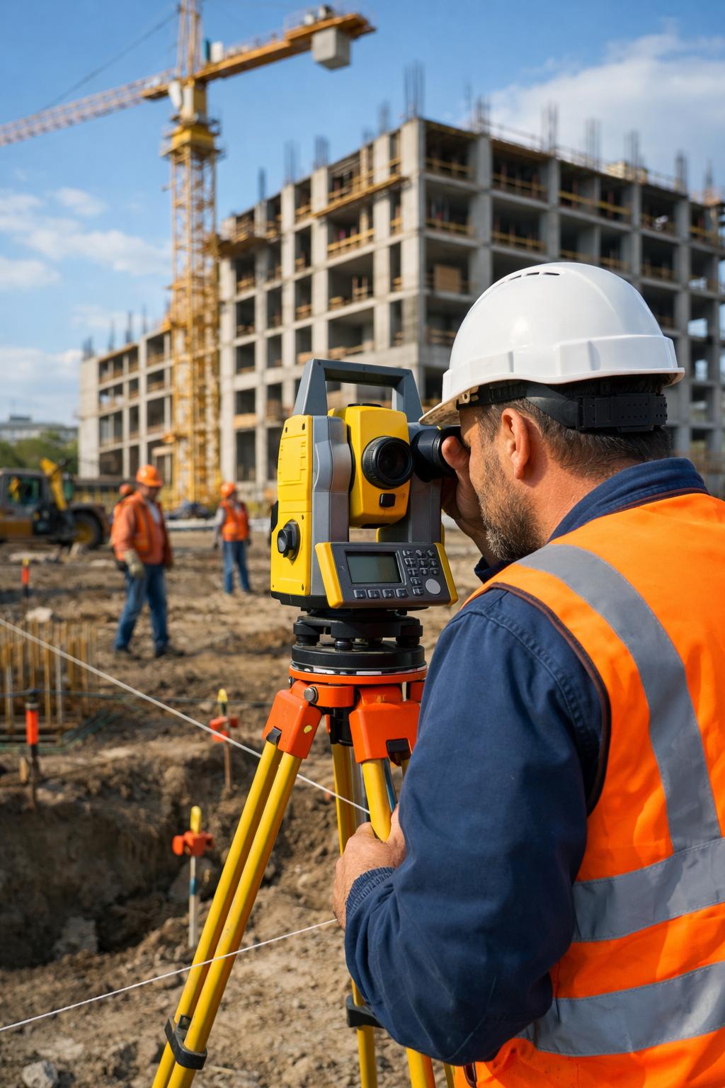
Engineering and surveying
FIELD INTELLIGENCE
01
UNDERSTANDING EARTH. INFORMING PROGRESS.

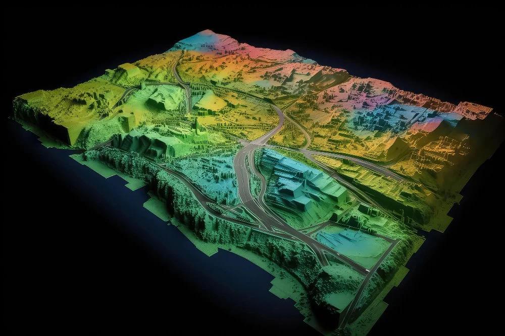
From surface to subsurface, we make the invisible understandable.

Every major project begins with understanding its environment. Accurate information about the land, seabed, subsurface and surrounding assets can help project teams make better-informed decisions.

Our capabilities bring together surveying, mapping, geotechnical and geophysical investigations, monitoring, positioning and digital Geo-data solutions.

By combining field expertise with advanced technologies and data-driven workflows, we support projects from early investigation and planning through construction, operation and asset management.

Explore our capabilities
01

Map

Capture and understand the Earth's surface, seabed and surrounding environments.

02

Model

Transform complex Geo-data into useful digital models and information.

03

Monitor

Track assets, environments and changing conditions throughout their lifecycle.

04

Advise

Convert technical information into practical insights for project teams.

FROM DATA TO DECISION

Intelligence that moves with your project.

From the earliest site investigation to long-term asset monitoring, Geo-data can provide the insight needed to understand conditions, manage uncertainty and support informed decisions.

01
DISCOVER

Survey & Investigate

Capture information about the surface, seabed and subsurface through surveying, mapping, geotechnical and geophysical investigations.

Engineering survey
02
UNDERSTAND

Process & Model

Transform field information into structured Geo-data, digital models and technical insights that can support project planning and engineering workflows.

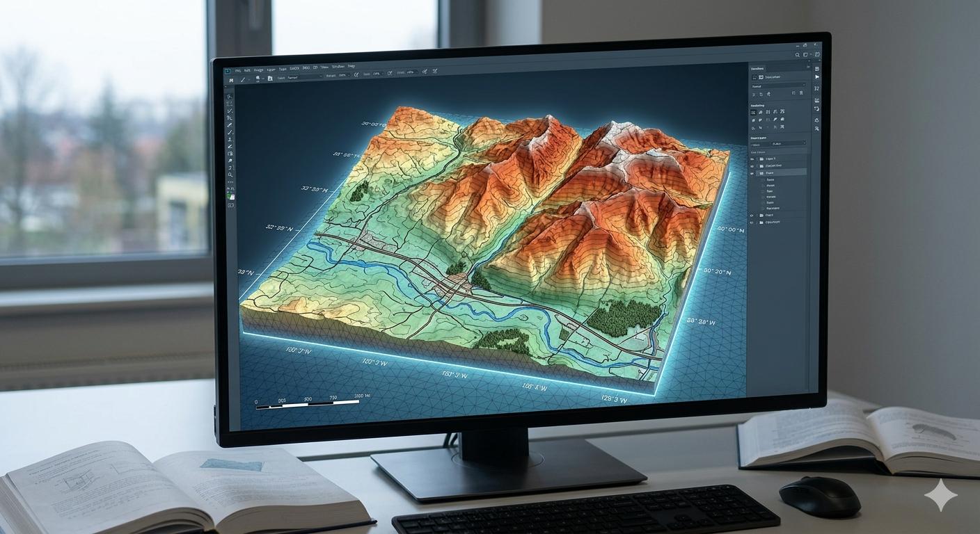
Digital data analysis
03
CONTROL

Monitor & Verify

Monitor assets, project conditions and environmental changes while maintaining reliable information for technical and operational teams.

Construction monitoring
04
DELIVER

Insight & Decision

Bring technical information together to support project teams with clearer insight, stronger coordination and informed decisions.

Engineering project planning

DATA → INSIGHT → ACTION
Connecting technical information with real-world project decisions.

OUR EXPERTISE

The data behind better decisions.

We bring together specialist knowledge, field capabilities and digital technologies to transform complex information about the natural and built environment into useful project intelligence.

01

Surveying & Mapping

Precise information about land, marine and project environments.

02

Geotechnical & Geophysical

Investigating ground and subsurface conditions for informed technical decisions.

03

Monitoring & Verification

Reliable information for understanding assets, conditions and changing environments.

04

Digital Geo-data

Digital workflows that make technical data easier to access, process and apply.

05

Positioning & Dimensional Control

Accurate positioning and dimensional information supporting technically demanding projects.

06

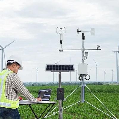
Weather & Environmental Data

Environmental information supporting planning, operations and project understanding.

TECHNICAL CAPABILITY
Discuss your project
05 / TECHNOLOGY & INNOVATION

Technology that turns Geo-data into action.

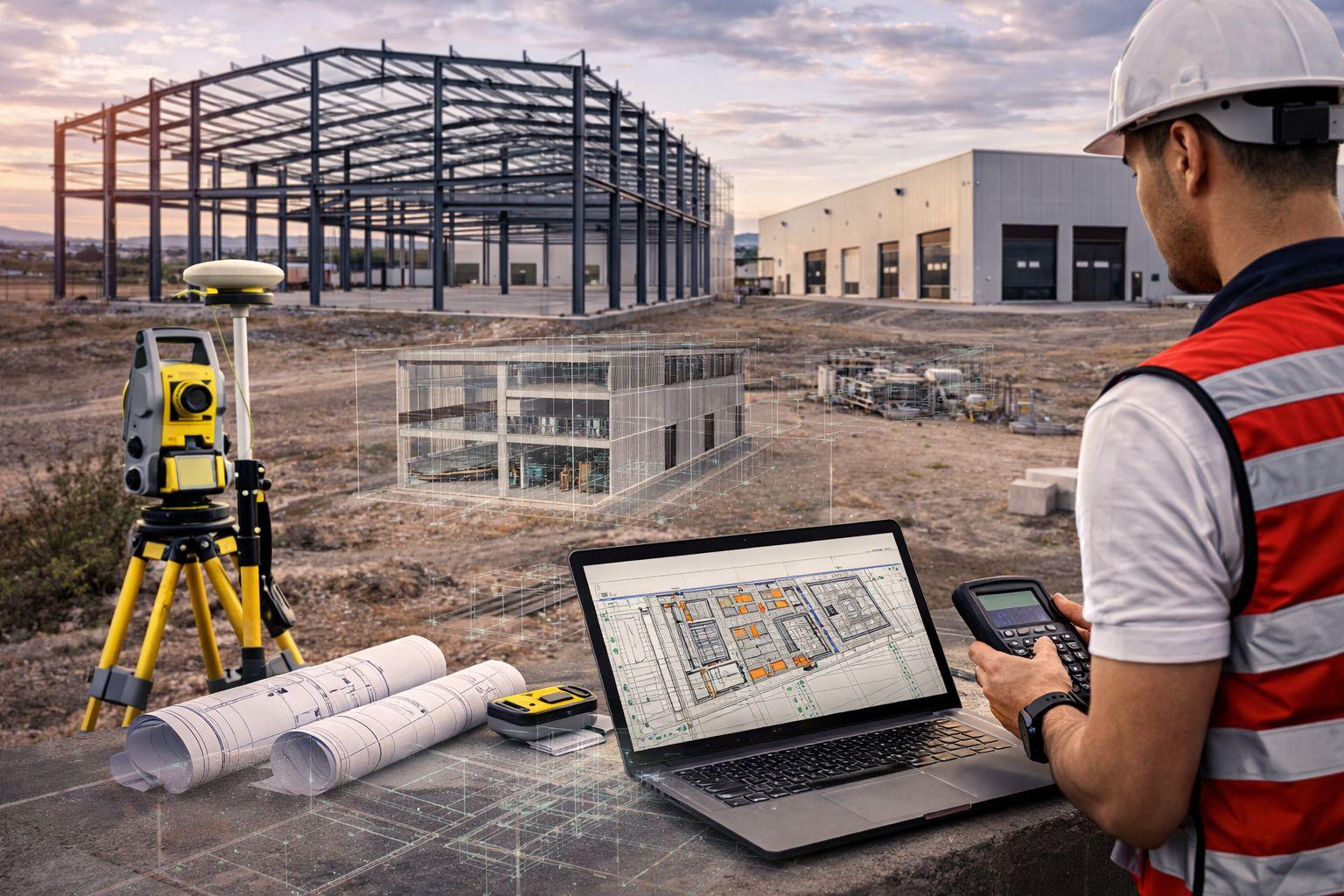
Advanced technology helps transform complex technical information into practical insight — improving the way projects are surveyed, monitored, processed and delivered.

Advanced technology and digital engineering
TECH / 01 DIGITAL ENGINEERING
01

Robotics & Remote Operations

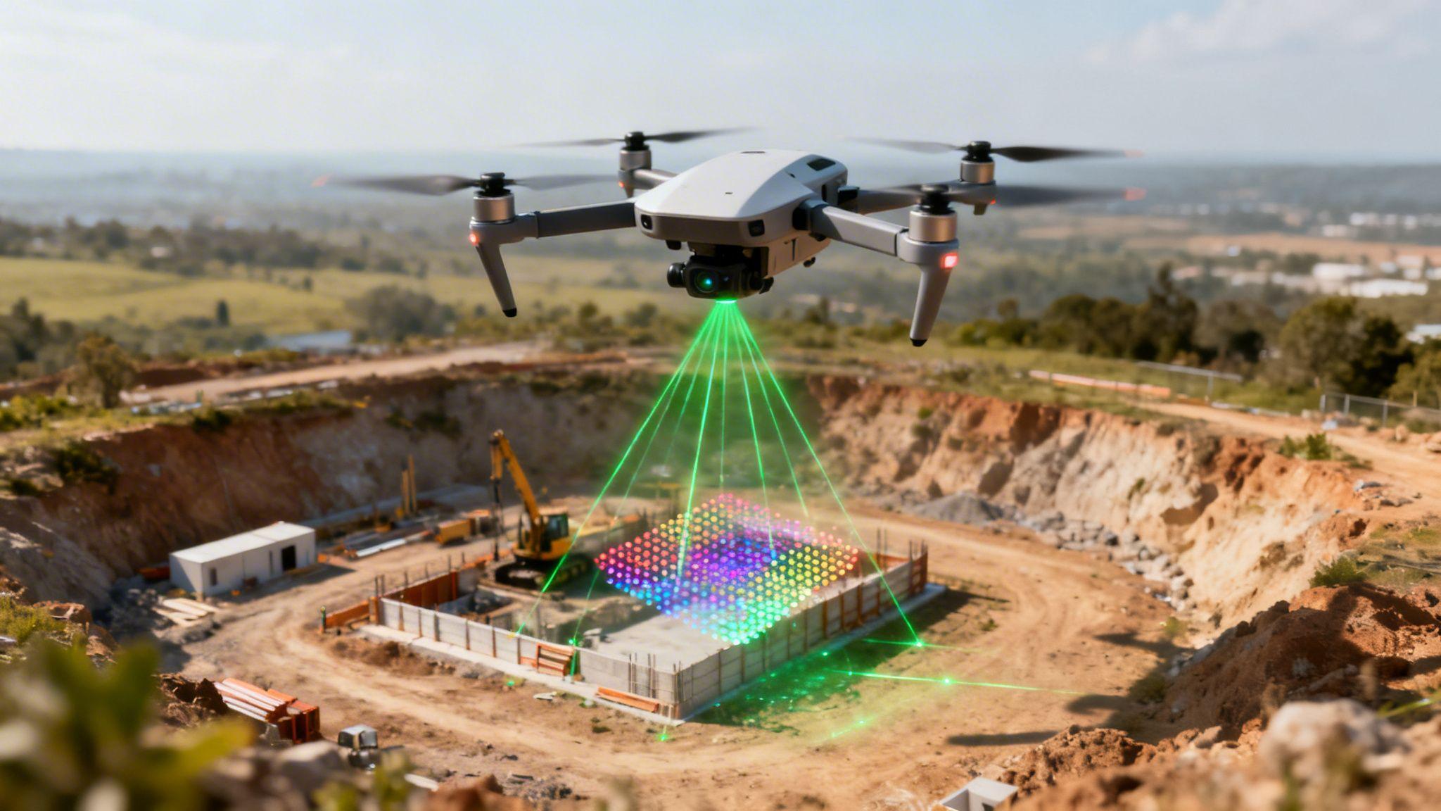
Technology-enabled approaches support data collection and operations in challenging environments while improving efficiency and operational reach.

02

AI & Analytics

Advanced analytics can help process complex Geo-data, identify patterns and support technology-assisted decision making.

03

Cloud-Based Data Processing

Digital workflows make large technical datasets easier to process, manage, visualize and deliver across project teams.

04

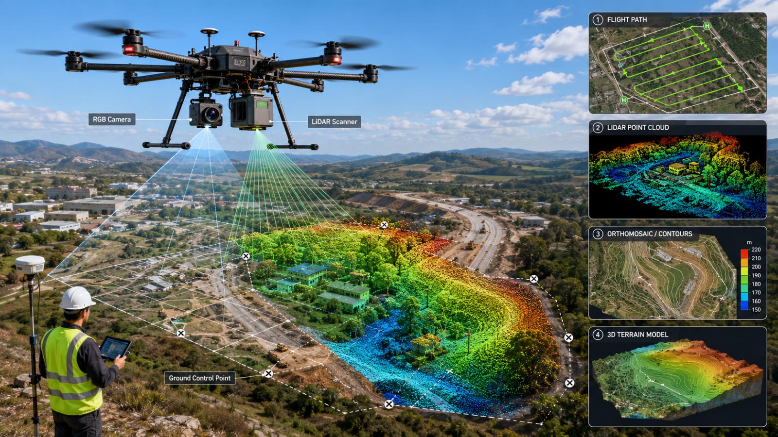
Advanced Surveying & Monitoring

Modern surveying and monitoring technologies provide detailed information about project environments and changing conditions.

05

Digital Visualization

Complex technical information can be converted into digital visualizations that make project information easier to understand and use.

01 COLLECT Capture technical data
02 PROCESS Transform complex datasets
03 VISUALIZE Make information clearer
04 DECIDE Support better project decisions
OUR APPROACH / 06

From the ground
to greater certainty.

We collect, interpret and monitor Geo-data to help understand the natural and built environment and support informed decisions throughout a project.

Surveying and natural environment
12°58' N   80°14' E
GEO-DATA INTELLIGENCE

Understanding what lies beneath.

Every project starts with understanding its environment. Our technical capabilities bring together surveying, mapping, geotechnical and geophysical information, monitoring and digital Geo-data workflows.

Explore our capabilities
01
Mapping and surveying
MAP

See the environment.

Surveying and geographical studies help create accurate information about the surface and subsurface.

02
Engineering modelling
MODEL

Understand the data.

Technical information is processed and visualised to create a clearer understanding of complex project environments.

03
Technical monitoring
MONITOR

Track what changes.

Monitoring and analysis provide information about assets, structures and changing environmental conditions.

DATA → INSIGHT → DECISION

Better understanding starts with better information.

07 / SELECTED PROJECTS

Data. Delivered.

Technical expertise applied across complex environments, from offshore developments and infrastructure to marine, industrial and environmental projects.

DISCUSS YOUR PROJECT
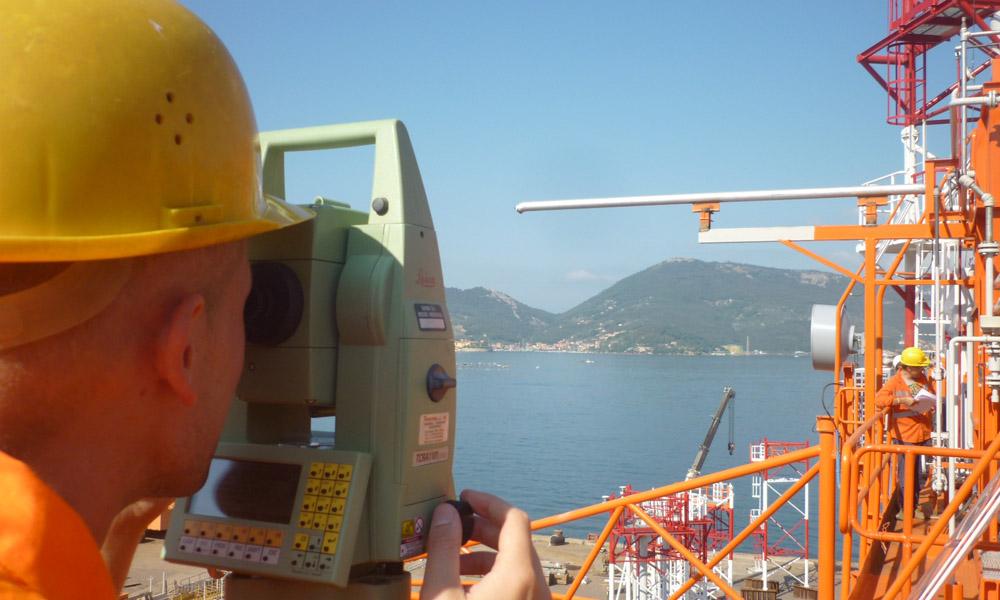
Offshore engineering project
MARINE / OFFSHORE
01
ENERGY & OFFSHORE

Understanding complex offshore environments.

Geo-data acquisition, surveying, positioning and technical investigation can support the planning, development and operation of demanding offshore projects.

FOCUS Geo-data & Survey
ENVIRONMENT Marine / Offshore
VIEW PROJECT
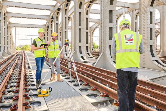
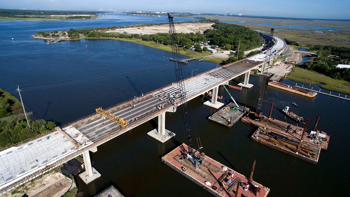
Infrastructure engineering
02
INFRASTRUCTURE

Building a clearer picture of infrastructure environments.

Surveying, mapping, geotechnical information and monitoring can support roads, bridges, railways, tunnels and other infrastructure.

EXPLORE
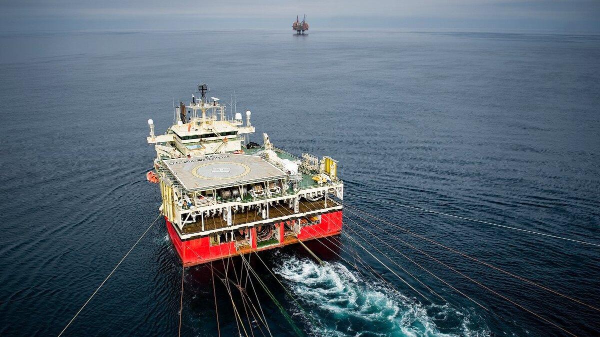
Marine vessel and offshore survey
03
MARINE & OFFSHORE

Surveying environments where access is challenging.

Marine survey, subsea information, monitoring and remote technologies support technically demanding offshore environments.

EXPLORE
Coastal environmental monitoring
04
WATER & CLIMATE

Understanding changing environmental conditions.

Geo-data, coastal mapping, monitoring and modelling can contribute to understanding environmental and climate-related conditions.

EXPLORE
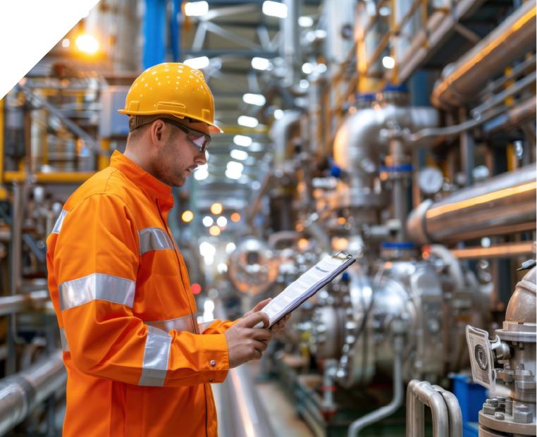
Industrial engineering project
05
INDUSTRIAL & BUILT ENVIRONMENT

Technical insight for complex built assets.

Technical investigations and monitoring support the safe design, construction and operation of industrial facilities and assets.

EXPLORE
05 PROJECT ENVIRONMENTS

One approach — understand the environment, reduce uncertainty and support better decisions.

08 / LET'S CONNECT

Have a project in mind?

Tell us what you are working on. Share your project requirements, technical needs or enquiry and our team can connect with you to understand the opportunity.

PROJECT ENQUIRIES

Let's start a conversation.

From surveying and Geo-data to technical investigations, monitoring and digital workflows, tell us what you need.

LOCATION

Fugro Survey (India) Private Limited Registered/Office Address: Fugro House, D-222/30 T.T.C. Industrial Area, MIDC Nerul Navi Mumbai – 400 706 Maharashtra, India

EMAIL

info@fugrogeonics.com

PHONE

+91 22 61989500

Surveying Geo-data Geotechnical Monitoring Digital Solutions
ENQUIRY FORM

Tell us about your project

08
We will get back to you regarding your enquiry.
Thank you for your enquiry.

Your message has been received successfully.